LAND and HUMAN IMPACT - Deserts
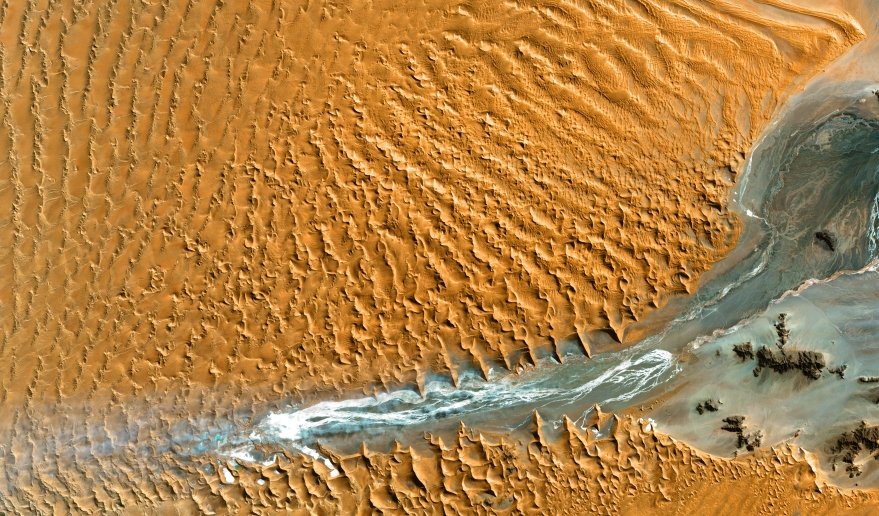
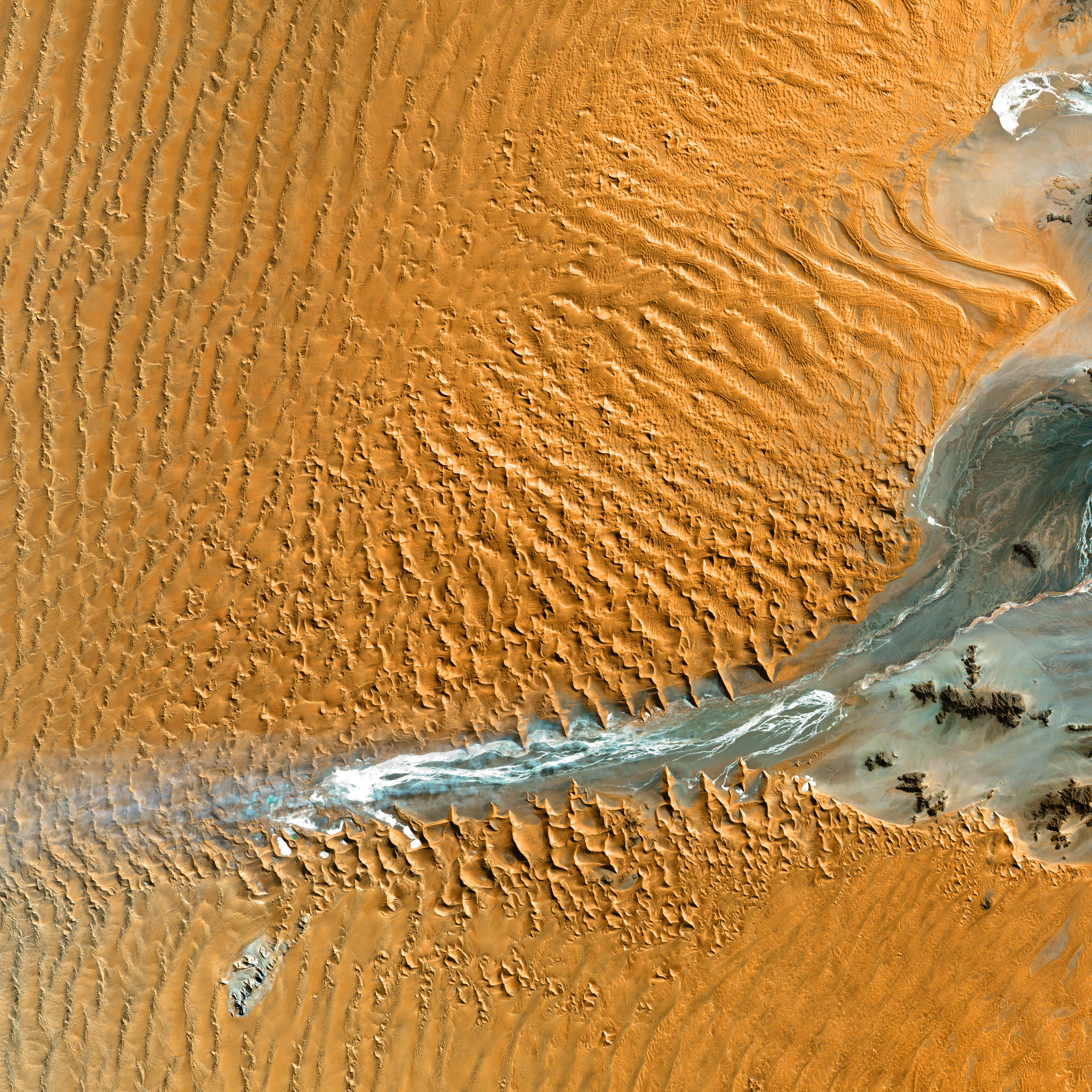
Namib desert (Namibia).
ETM+/Landsat 7 (8/12/00).
Source: USGS National
Center for EROS and NASA
Landsat Project Office.
Remote sensing to survey deserts
This Landsat 7 image shows the Namib-Naukluft National Park, an ecological preserve in Namibia's vast Namib Desert.
The park is the largest game park in Africa, and a surprising collection of creatures manage to survive in this hyper-arid region, including snakes, geckos, unusual insects, hyenas, and jackals.
Coastal winds create the tallest sand dunes in the world here, with some dunes reaching 300 meters in height.
Question : How do satellites track desertification ?