What is the difference between desert and desertification ?
What is a desert ?
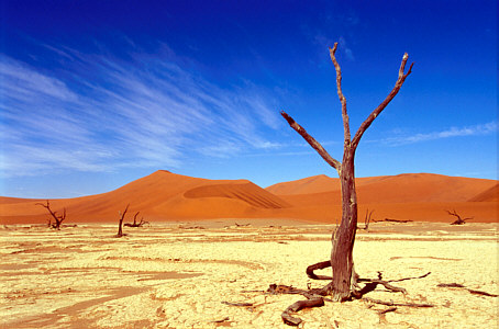
A desert is a landscape form or region that receives very little precipitation.
Deserts can be defined as areas that receive an average annual precipitation of less than 250 mm, or as areas in which more water is lost than falls as precipitation.
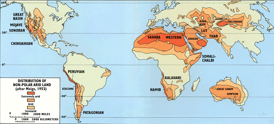
There are different types of deserts:
- Low-latitude (sub-tropical) deserts
-
resulting from global air circulation pattern
- characterized by little rain, high evaporation, clear skies
- Australia, Sahara and Southern Africa deserts
-
- Continental deserts
-
occur on high plateaus in the continental interior
- characterized by warm summers, cold winters
- Gobi and Taklimakan deserts (East Asia), central Australia desert, Great Basin (North America), Monte desert (South America)
-
- Coastal deserts
-
occur near coastal upwelling of deep ocean waters
- characterized by little rain, extreme dryness, evening fog
- Atacama desert (Chile), Namib desert (West Africa), Baja California desert (USA), Atlantic coastal desert of Morocco
-
- Rain shadow deserts
-
occur inland from coastal mountain ranges
- characterized by little rain, high evaporation, clear skies
- Sierra Nevada, Cascades, Himalayas, Andes mountains
-
- Polar deserts
- result from descending cold dry air and are often associated with lots of snow and ice
- Greenland, Antartica
What is desertification ?
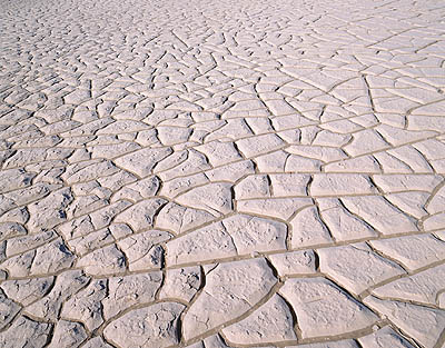
Desertification is the degradation of drylands in terms of their productivity. This global problem results from human activities and climatic variations.
Dryland areas cover 40% of the world's land surface and are the most at risk of turning into deserts.
Current desertification is taking place worldwide much faster than historically, and usually arises from the demands of increased populations that settle on the land in order to grow crops and graze animals.
What can space technologies do about it ?
Satellites images can highlight soil deterioration, erosion and loss of natural vegetation, and therefore help preventing dryland desertification.
More facts about world's deserts on:
- page "The encroaching desert" of the EOEdu website
- Deserts: geology and resources (USGS)
- Global Deserts Outlook (UNEP)
