HUMAN IMPACT - Cities
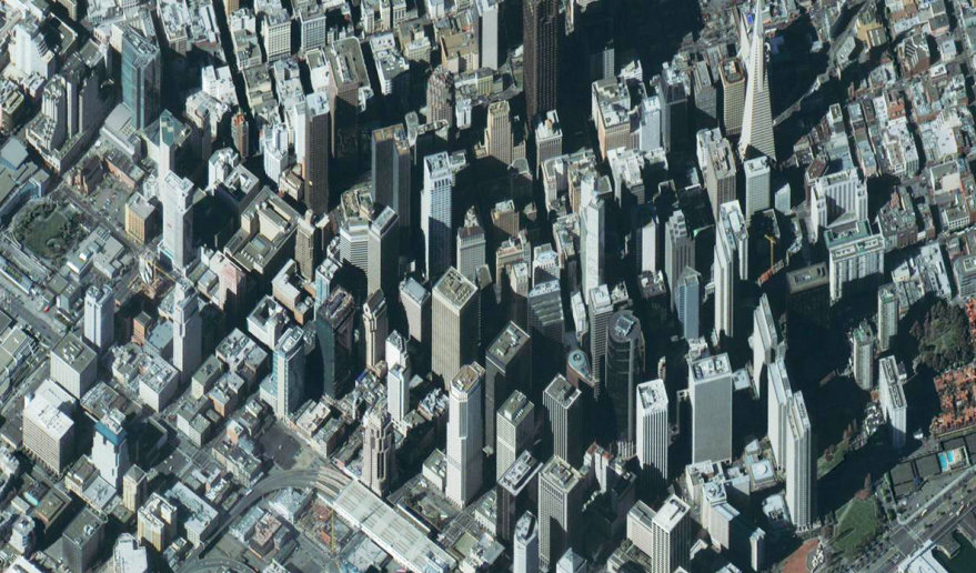
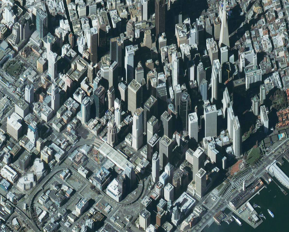
San Francisco (USA).
Quickbird (17/12/01).
Source: DigitalGlobe.
An unique view on urban landscapes
This great image of San Francisco was collected by the very high resolution satellite QuickBird. It was taken sideways (42 degrees off nadir) to provide a unique perspective of the downtown skycrapers.
The image reveals buildings, highways, automobiles and many details of the centre.
Open the bigger view of this image. Can you see the pyramidal Transamerica building ?
This type of 3-D perspective images are useful to understand densely developed urban centers and assess visual impact of constructions.
Question : Do satellites "see" in 3D ?