3. 3D Applications
Topographic maps
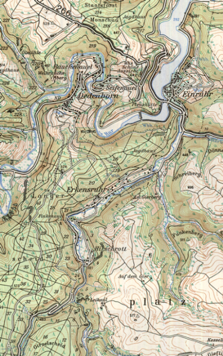
Part of a topographic map (1:50 000) L5504 Schleiden (Germany). The brown lines represent the relief of the
terrain.
Source: Ghent University
Source: Ghent University
There are different ways to display height. One you certainly know is a topographic map as shown in the image. The elevation information, called topography, is reproduced by brown lines. The closer the lines together, the steeper is the slope.
For tourists, it is not always easy to interpret this kind of maps. A certain amount of map-reading skills is necessary to be able to have a clear view of the surroundings.
Beside topographic maps, there are other ways of reproducing the topography of an area, which are certainly much easier to interpret. The following 3D-presentations are some of the possibilities.
