Remote Sensing of Cultural Heritage Sites
What is Cultural Heritage?
Cultural heritage is the legacy of physical artefacts and intangible attributes of a group or society that are inherited from past generations, maintained in the present and bestowed for the benefit of future generations. Often though, what is considered cultural heritage by one generation may be rejected by the next generation, only to be revived by a succeeding generation constitutes a fundamental part of the identity.
Cultural Heritage is considered to be:
Monuments: architectural works, works of monumental sculpture and painting, elements or structures of an archaeological nature, inscriptions, cave dwellings and combinations of features, which are of outstanding universal value from the point of view of history, art or science;
Groups of buildings: groups of separate or connected buildings which, because of their architecture, their homogeneity or their place in the landscape, are of outstanding universal value from the point of view of history, art or science;
Sites: works of man or the combined works of nature and man, and areas including archaeological sites which are of outstanding universal value from the historical, aesthetic, ethnological or anthropological point of view.
(Article 1 of the UNESCO World Heritage Convention http://whc.unesco.org/archive/convention-en.pdf)
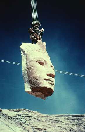
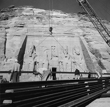
The idea of protecting the world cultural heritage came up when in 1954, the government of Egypt decided to build the
Aswan High Dam, an event that would have flooded the valley containing the Abu Simbel temples, a treasure of ancient
Egyptian civilization. In 1959, after an appeal from the governments of Egypt and Sudan, UNESCO launched an international
safeguarding campaign. Archaeological research in the areas to be flooded was accelerated. Above all, the Abu Simbel and
Philae temples were dismantled, moved to dry ground and reassembled.
The campaign cost about US$ 80 million, half of which was donated by some 50 countries, showing the importance of
solidarity and nations' shared responsibility in conserving outstanding cultural sites.
Its success led to other safeguarding campaigns, such as saving Venice (Italy), Moenjodaro (Pakistan) and restoring Borobodur (Indonesia).
Consequently, UNESCO initiated, with the help of the International Council on Monuments and Sites (ICOMOS), the preparation of a draft convention on the protection of cultural heritage.
How can remote sensing tools be useful for the conservation and study of Cultural Heritage sites?
Check the following case studies and you will find the answer!
The Great Wall of China

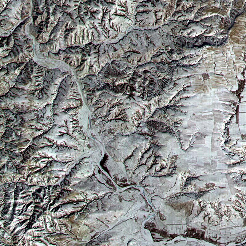
Want to know more? Check out the Case study about the Great Wall of China
Dresden and the Elbe Valley, Germany (a former World Heritage site)

Want to know more? Check out the Case study about Dresden and the Elbe Valley
Venice, Italy
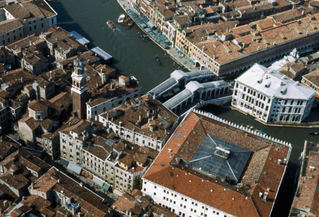
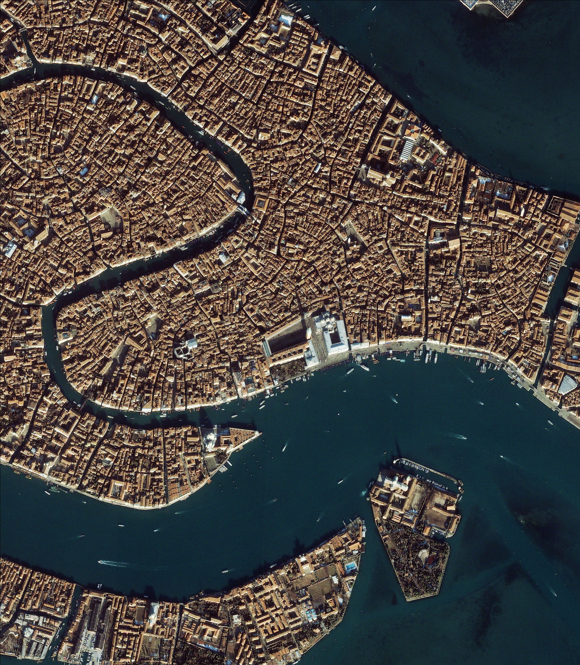
Want to know more? Check out the Case study about Venice
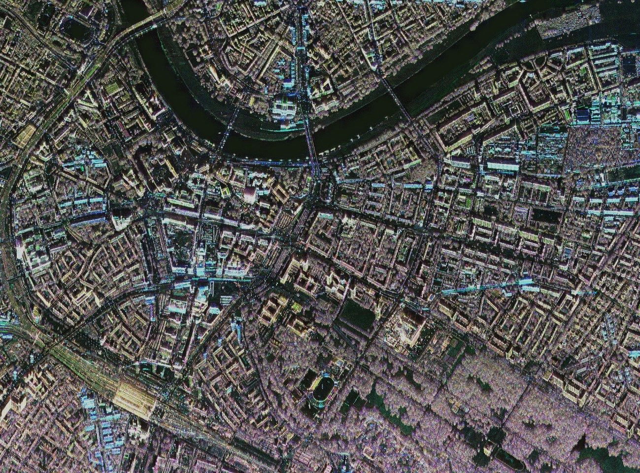
Mont Saint Michel and its Bay, France

Want to know more? Check out the Case study about Mont Saint Michel
