4. Visual Image Interpretation
Virtually all people live with the visual perception of his/her environment. This experience is also used to interpret images (in 2D) and 3-dimensional structures and specimens.
The visual interpretation of satelllite images is a complex process. It includes the meaning of the image content but also goes beyond what can be seen on the image in order to recognise spatial and landscape patterns. This process can be roughly divided into 2 levels:
- The recognition of objects such as streets, fields, rivers, etc. The quality of recognition depends on the expertise in image interpretation and visual perception.
- A true interpretation can be ascertained through conclusions (from previously recognized objects) of situations, recovery, etc. Subject specific knowledge and expertise are crucial.
The first step recognition of objects and structures, relates to the followong saying: "I can recognize in an image only what I already know." Hence, previous knowledge and experience play a very large role in the interpretation process as only through subject specific knowledge connections can be made between the key underlying processes.
Both steps, recognition and interpretation, do not "mechanically" follow one another, but rather run through a repetitive process, where both steps heavily rely on one another (Albertz 2007).
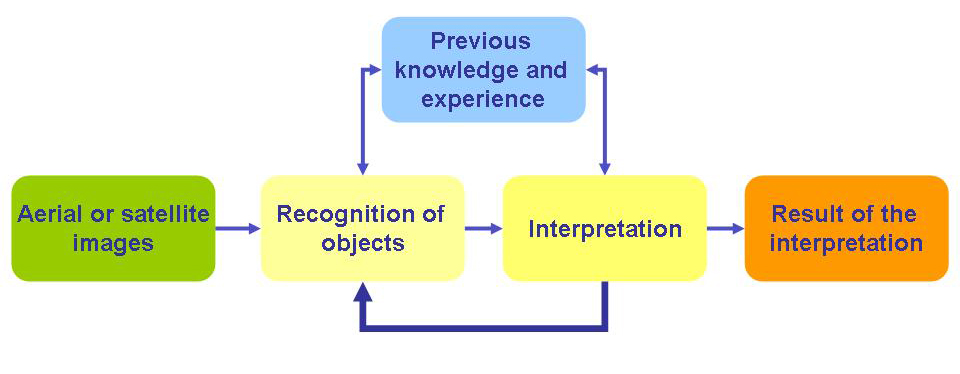
Source: Albertz 2007 with modifications
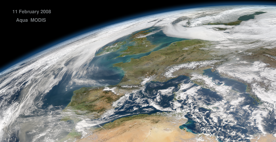
Source: NASA
The Practice of Image Interpretation
- Acquisition of documents: Satellite images, maps, etc.
- Pre-interpretation: gross distribution, apportionment of the area, etc.
- Partial land pre-investigation: Recognition of regional particularities
- Detail interpretation: Core of the work: areas will be individually considered, objects will be recognised and compared to maps. Objects that are easily identifiable are addressed first.
- Land Examination / Field Comparison: a method to double check uncertain interpretation results
- Depiction of the results: through maps, map-like sketches, thematic mapping, etc.
