3. Resolution
Temporal resolution
The temporal resolution is given as the time interval between two identical flights over the same area, also called repetition rate.
Temporal resolution is determined by altitude and orbit of the satellite as well as its sensor characteristics (viewing angle).
The repetition rate and the temporal resolution of earth observing satellites is 14-16 days (IKONOS: 14 days, LANDSAT 7: 16 days, SPOT: 26 days). Meteorological satellites such as METEOSAT 8 with 15 min have extremely shorter repetition rates.
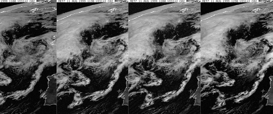
Source: EUMETSAT

Source: UNEP
The temporal resolution is lower through clouds in case of sensors which detect visible or infrared radiation that does not penetrate through clouds. Since many areas of the earth are often covered by a clouds, these areas cannot be properly depicted when a satellite passes over them.
Images of an area taken at different times (monthly, yearly, and per decade) can be used for multitemporal analysis. They allow analysis of the following, just to give a few examples:
- seasonal changes of vegetation,
- the expansion of cities over decades, or
- documentation of forest clearance in the tropical rainforest etc.
