| Name of satellite |
Technical data |
| Sensor (Selection) |
Active |
Passive |
Launch |
Altitude |
Repeat cycle |
Spatial resolution |
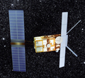
ENVISAT
In March 2002, the European Space Agency launched Envisat, an advanced polar-orbiting earth observation satellite. It provides measurements with respect to our atmosphere, oceans, land, and ice. The mission ended in April 2012, following the unexpected loss of contact with the satellite
Continuous and coherent global and regional data sets are needed by the scientific and user community in order to better understand climatic processes and to improve climate models (ESA).
Official web page:http://envisat.esa.int/
|
ASAR (Advanced Synthetic Aperture Radar) |
x |
|
2002 |
800 km |
35 days |
30 m, 150 m, 1000 m |
| MERIS (Medium Resolution Imaging Spectrometer) |
|
x |
Ocean: 1040 m x 1200 m,
Land & coast: 260 m x 300 m |
| AATSR (Advanced Along Track Scanning Radiometer) |
|
x |
1km2 |
| MWR (Microwave Radiometer) |
|
x |
20 km |
| MIPAS (Michelson Interferometer for Passive Atmospheric Sounding) |
|
x |
Vertical: 3 km,
Horizontal: 3 km x 30 km |
| SCIAMACHY (Scanning Imaging Absorption Spectrometer for Atmospheric Cartography) |
x |
|
Limb vertical 3 x 132 km, Nadir horizontal 32 x 215 km |
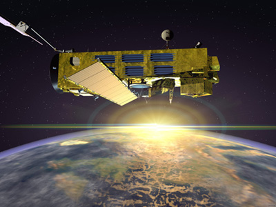
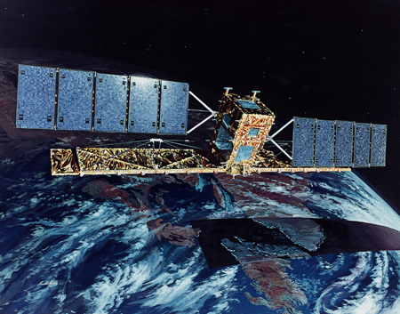
ERS-2
ERS-2 was launched on April 21, 1995, on an Ariane 4 from ESA's Guiana Space Centre near Kourou, French Guiana. Largely identical to ERS-1 (launched in 1991), it was equipped with additional instruments and included improvements to existing instruments.
ERS-2 carries a comprehensive payload including a Synthetic Aperture Radar (SAR) and a radar altimeter for studying sea surface temperatures and winds, as well as a sensor to conduct research of atmospheric ozone.
Official web page:http://earth.esa.int/ers/
Where is ERS-2 now?
|
ATSR (Along Track Scanning Radiometer) |
|
x |
1995 |
780 km |
24 days |
1 km2 |
| RA (Radar Altimeter) |
x |
|
16-20 km |
| GOME (Global Ozone Monitoring Experiment) |
|
x |
40 km2; 40x320 km2 |
SAR (Synthetic Aperture Radar) |
x |
|
30 m |
MWR (Mircowave Radiometer) |
|
x |
20 km |
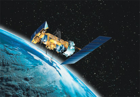
GOES 12
The GOES 12 or M satellite is one of the key providers for U.S. weather monitoring and forecast operations and crucial to NOAA's National Weather Service operations and modernization program.
Official web page:https://www.ospo.noaa.gov/Operations/GOES/status.html
|
SOUNDER |
x |
|
2001 |
35,800 km |
30 min |
between 1 km2 and 8 km2 |
| IMAGER |
|
x |
between 1 km2 and 8 km2 |
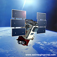
IKONOS
The IKONOS Satellite is a high-resolution satellite operated by GeoEye. Its applications include both urban and rural mapping of natural resources and of disasters, tax mapping, agriculture and forestry analysis, mining, engineering, construction, and general changes. Its high resolution data makes an integral contribution to homeland security, coastal monitoring and facilitates 3D terrain analysis.
IKONOS web page:http://www.satimagingcorp.com/satellite-sensors/ikonos.html
|
OSA |
|
x |
1999 |
681 km |
3 days |
82 cm, 3.2 m |
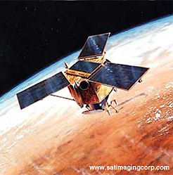
IRS-P6 (RESOURCESAT-1)
IRS-P6 (RESOURCESAT-1) is the most advanced remote sensing satellite built by ISRO (Indian Space Research Organization). The tenth satellite built by ISRO in the IRS series, IRS-P6 is intended to not only continue the remote sensing data services, but also vastly enhance the data quality, e.g. with higher spatial resolution.
Official web page:http://www.isro.gov.in/
|
LISS IV (Linear Imaging Self Scanner) |
|
x |
2003 |
817 km |
5 days |
5.8 m2 |
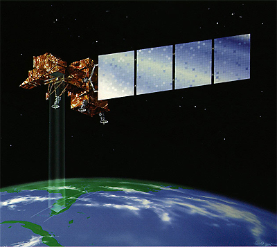
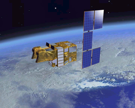
LANDSAT 7
The Landsat Program is a series of earth-observing satellite missions jointly managed by NASA and the U.S. Geological Survey. Since 1972, Landsat satellites have collected information about earth from space.
The government-owned Landsat 7 was successfully launched on April 15, 1999. The earth observing instrument on Landsat 7, the Enhanced Thematic Mapper Plus (ETM+), replicates the capabilities of the highly successful Thematic Mapper instruments on Landsats 4 and 5.
Official web page:http://landsat.gsfc.nasa.gov/
|
ETM+ (Enhanced Thematic Mapper Plus) |
|
x |
1999 |
705 km |
16 days |
30 m2/ 60 m2 |
METEOSAT-8
EUMETSAT operates a fleet of meteorological satellites and their related ground systems to deliver reliable and cost-efficient data, images and products. These in turn fulfil requirements for weather and climate monitoring, primarily of national meteorological services in the Member- and Cooperating States.
Meteosat Second Generation (MSG) is a significantly enhanced follow-up system to the previous generation of Meteosat. The first MSG satellite launched was Meteosat-8 in 2002. A second satellite followed in December 2005.
Official web page:http://www.eumetsat.int/
|
SEVIRI (Spinning Enhanced Visible and InfraRed Imager) |
|
x |
2002 |
35,600 km |
15 min |
3 km2 |
NOAA-N
NOAA-N is the latest polar-orbiting satellite developed by NASA for the National Oceanic and Atmospheric Administration (NOAA). NOAA-N will collect information about earth's atmosphere and environment to improve weather prediction and climate research across the globe.
Severe weather is monitored and reported to the National Weather Service which broadcasts the findings to the global community. Providing early warnings, effects of catastrophic weather events can be minimized.
Official web page:http://www.nasa.gov/mission_pages/noaa-n/
|
AVHRR (Advanced very high resolution radiometer) |
|
x |
2005 |
870 km |
0.5 days |
1 km2 |
| HIRS (High Resolution Infrared Radiation Sounder) |
|
x |
20 km |
QuickBird
QuickBird is a high resolution satellite owned and operated by DigitalGlobe. The satellite is an excellent source for environmental data with respect to the analysis of changes in land usage, agricultural and forest climates. QuickBird's imaging capabilities can be applied to a host of industries, including oil and gas exploration & production (E&P), engineering and construction and environmental studies.
QuickBird web page:http://www.satimagingcorp.com/satellite-sensors/quickbird.html
|
Quickbird |
|
x |
2001 |
450 km |
2- 3 days |
61 cm, 2.4 m |
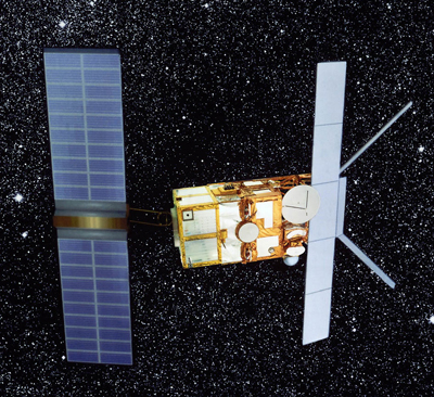
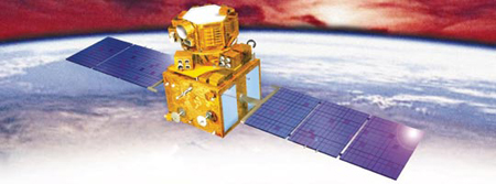
Radarsat-1
RADARSAT-1 is a sophisticated earth observation satellite developed by Canada to monitor environmental changes and the planet's natural resources.
Launched in November 1995, RADARSAT-1 provides Canada and the world with an operational radar satellite system capable of timely delivery of large amounts of data. Equipped with a powerful synthetic aperture radar (SAR) instrument, it acquires images of the earth day or night, in all weather conditions and through cloud cover, smoke and haze.
Official web page:http://www.asc-csa.gc.ca/eng/satellites/radarsat1/
|
SAR (Synthetic Aperture Radar) |
x |
|
1995 |
798 km |
24 days |
8 - 100 m |
Spot 5
SPOT 5 is the fifth satellite in the SPOT series, placed into orbit by an Ariane launcher.
Compared to its predecessors, SPOT-5 offers greatly enhanced capabilities which provide additional cost-effective imaging solutions. The coverage offered by SPOT-5 is a key asset for applications such as medium-scale mapping, urban and rural planning, oil and gas exploration, and natural disaster management.
Official web page:http://spot5.cnes.fr/
|
HRS |
|
x |
2002 |
822 km |
26 days |
2.5, 5, 10 and 20 m2 |