5. Educational Game (1/2)
Introduction
In this module you will learn to work with data with a geographical component. There are several software packages available that enable this. They differ in whether you need to install software or not. You can use it as if you are gaming, but all are used in real situations by professionals.
We propose you to try the following links:
Information about the North Sea coastal zone
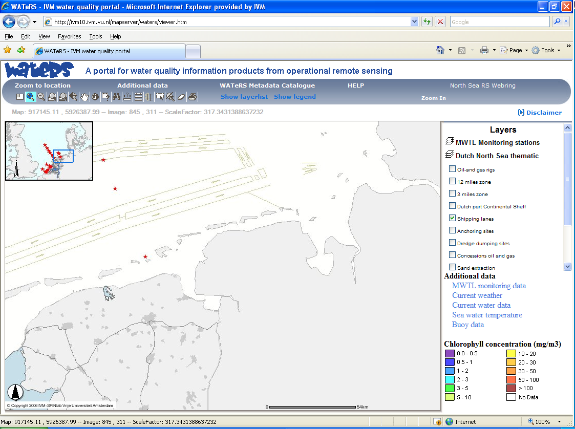
WATeRS allows you to combine or compare geographic information (Eleveld et al., 2007). With geographic information we mean information that is linked to a location on this earth with coordinates. Satellite data can be included in such a system. A well-known system is Google Earth. Try to open WATeRS and play with the buttons on the screen. Try to match the example picture. Note that WATeRS currently doesn't hold satellite information about chlorophyll concentrations. As an alternative that allows you to look at coastal zones worldwide we suggest Google Earth. Can you navigate to the location of your school?