Remote Sensing of Natural Heritage Sites
What is Natural Heritage?
Natural Heritage is the legacy of natural, not man-made, places.
You may live close to a forest or a magnificent coastal area.
This is part of your Natural Heritage.
When a place has a natural outstanding importance to the common heritage of the humanity it can be one of the UNESCO Natural Heritage sites. Those places that are part of the UNESCO Natural Heritage List are considered to be "natural heritage" because of their:
|
|
(Article 2 of the UNESCO World Heritage Convention http://whc.unesco.org/archive/convention-en.pdf)
The idea of combining conservation of cultural sites with those of nature comes from the United States of America. A White House Conference in Washington, D.C., in 1965 called for a 'World Heritage Trust' that would stimulate international cooperation to protect "the world's superb natural and scenic areas and historic sites for the present and the future of the entire world citizenry". In 1968, the International Union for Conservation of Nature (IUCN) developed similar proposals for its members.
These proposals were presented to the 1972 United Nations Conference on the Human Environment in Stockholm. Eventually, a single text was agreed upon by all parties concerned. The Convention concerning the Protection of World Cultural and Natural Heritage was adopted by the General Conference of UNESCO on 16 November 1972.
By regarding heritage as both cultural and natural, the Convention reminds us of the ways in which people interact with nature, and of the fundamental need to preserve the balance between the two.
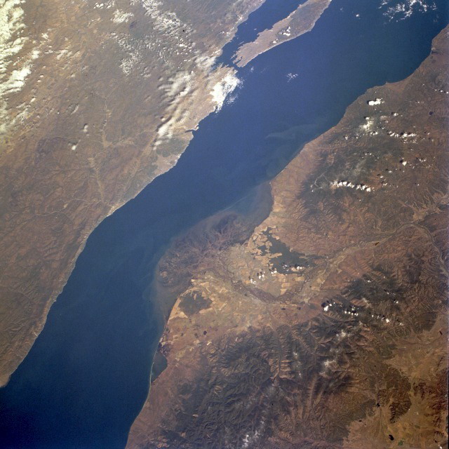
How can remote sensing tools be useful for the conservation and study of Natural Heritage sites? Check out the following case studies and you will find the answer!
The Everglades National Park, United States of America
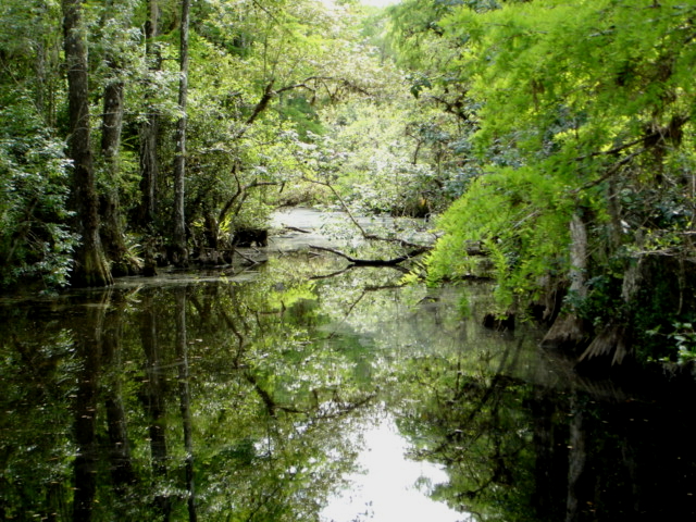
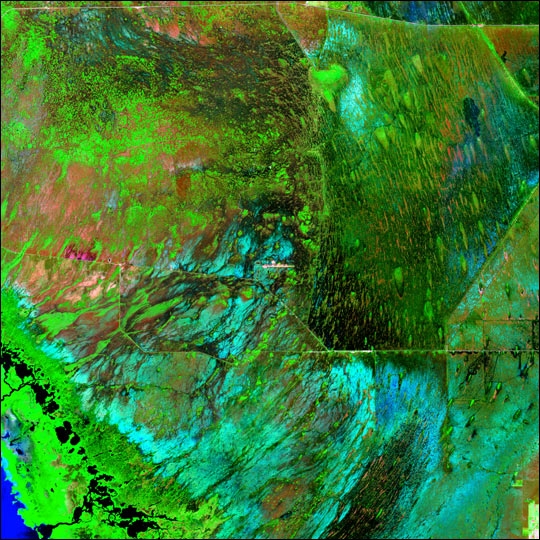
Want to know more? Check out the Case study about the Everglades National Park
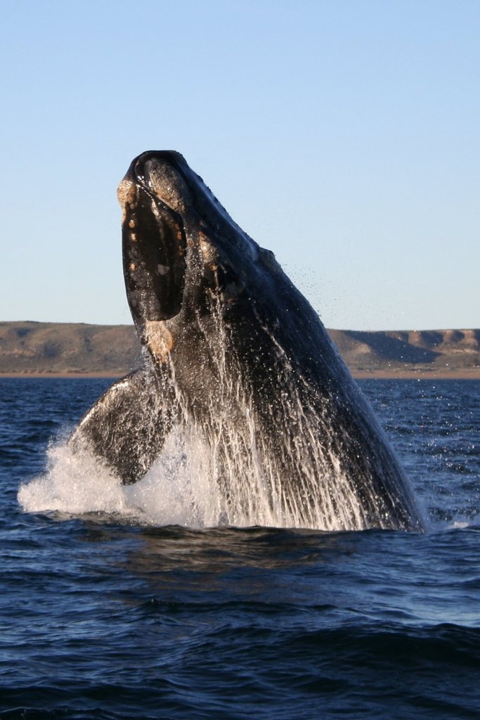
Virunga National Park, Democratic Republic of Congo

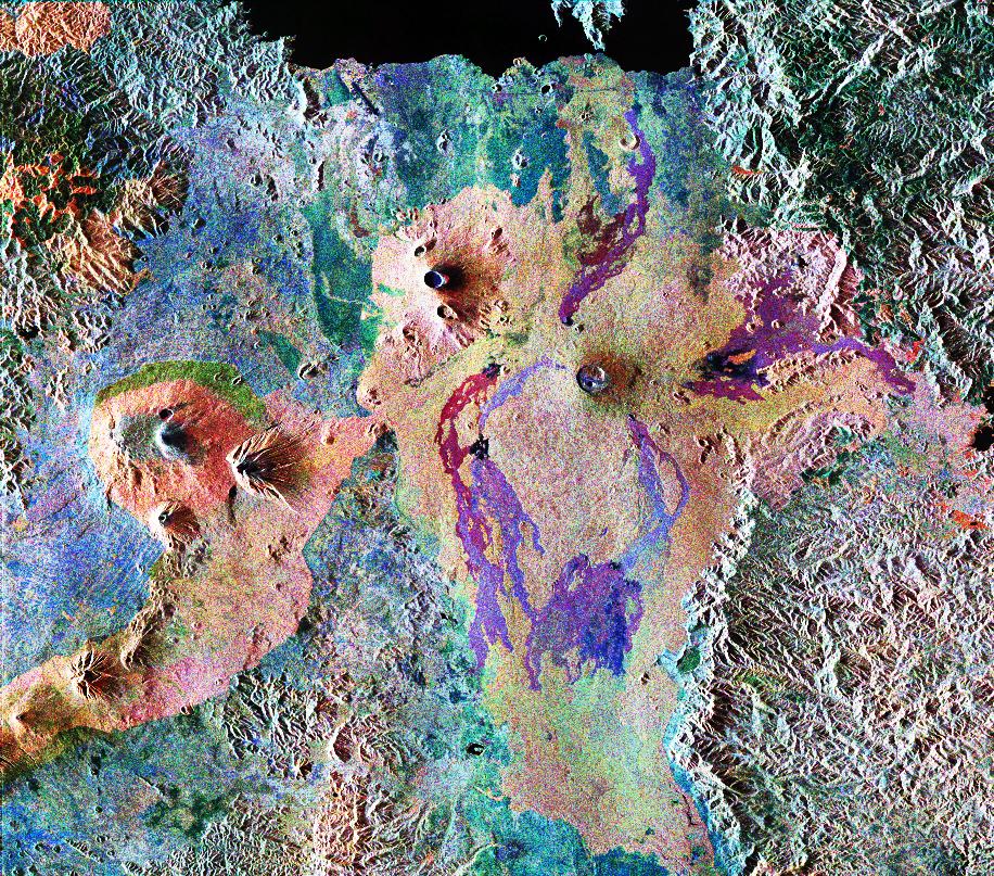
Want to know more? Check out the Case study about Virunga National Park
Iguazu National Park, Argentina and Brazil
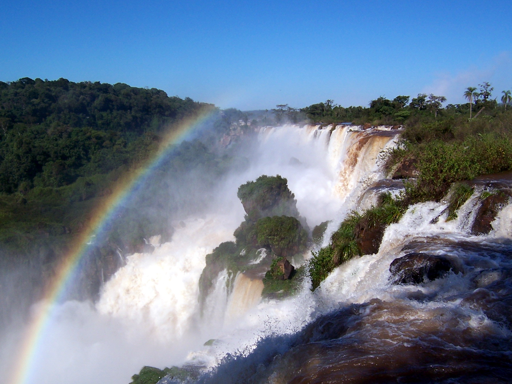
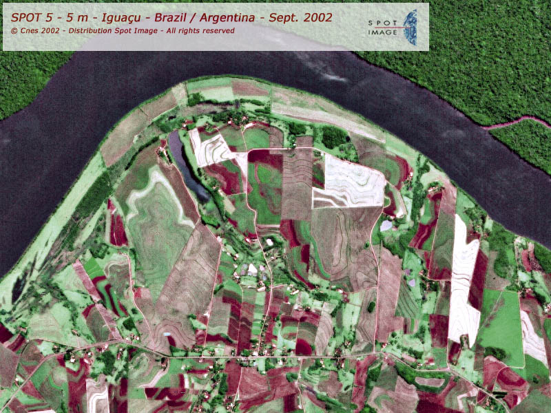
Want to know more? Check out the Case study about Iguazu National Park
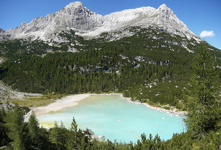
Lake Baikal, Russian Federation
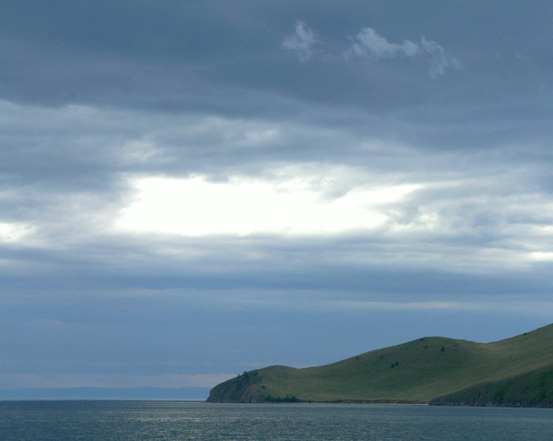
Want to know more? Check out the Case study about Lake Baikal
