The advantages of satellite measurements
Local measurements versus satellite measurements
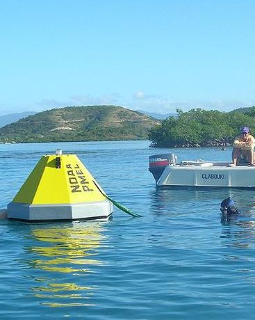
Local measurements.
Source: Jim Hendee. |
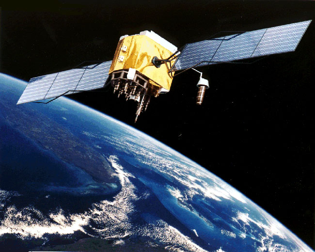
Satellite data.
Source: Michael Favor. |
Local measurements (by ships, collecting samples) |
Satellite measurements |
|---|---|
| - Small fractions of the sea bottom. | - Larger areas of the sea bottom at once. |
| - Carefully planned expeditions in order to produce the maximum amount of information in the least amount of time. |
- More cost-effective. |
| - Some coral reefs are difficult or not reachable by a conventional measurement station. Information on coral reefs is therefore often non-existent, inaccurate or out of date. |
- Opportunity to track changes in phenomena, making it possible to update existing maps in short time notice. |
| - Restricted by inaccessibility or shallowness. | - Possibility to study coral reefs which are too remote to visit or inaccessible. |
Geographic information system (GIS)
Although remote-sensing-derived information is valuable on its own, it has its best use when integrated in a geographic information system (GIS).
A GIS facilitates the linkage between remote-sensing-derived products and additional information including:
- socio-economic data,
- data on the urban coastal development,
- marine and inland pollution data,
- detailed information gathered during field trips,
- information about natural hazards,
- …
Additionally, newly acquired data can be easily added, while old data might be integrated as well.
In all following chapters, a GIS is used to process the raw data and get the information that is needed.
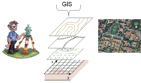
Schematic view: a surveyor with a theodolite, the different layers of spatial information and a satellite image.
Source: Ghent University.
