Orthorectification
What is orthorectification?
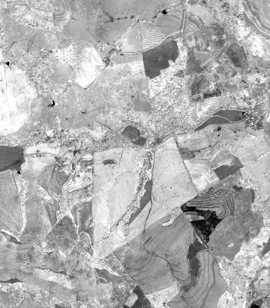
Digital satellite images and aerial photographs play an important role in the construction of maps or visualization in a GIS. However, the images acquired by Earth observation systems cannot be transferred to maps or to GIS as such, because they are geometrically distorted. The corrective process used to remove distortion from a remotely sensed image is called orthorectification. Without this process, you would not be able to make direct and accurate measurements of distances, angles, positions and areas on remotely sensed images.
Source: © Satellite Imaging Corporation. All rights reserved
What causes the distortions?
The topographical variations in the surface of the Earth affect the relief displacement, i.e. the distance with which features are displayed on the satellite or aerial image. When the landscape is topographically very diverse (very hilly or mountainous), you will find more inherent distortion in the image.
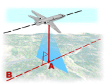
If the sensor is pointing directly at the nadir location, no distortion will take place at nadir point. However, the further away you get from nadir line in the image, the bigger will be the image distortion. These terrain distortions are of course amplified when the sensor takes oblique images, i.e. when the image sensor is not pointing directly at the nadir location.
Source: © Satellite Imaging Corporation. All rights reserved
Other geometric distortions can affect the image, for example, distortions due to errors in the satellite's positioning on its orbit or to the fact that the Earth is turning on its axis as the image is being recorded. Again, these distorsions are amplified even more when the image is taken sideways.
