How is remote sensing useful to preserve cultural Heritage ?
Remote sensing is an extremely valuable tool to observe and monitor our cultural heritage.
An example ? Check out the square, stepped pyramid of Chichen Itza, built by Mayans in about 1000 to 1200 AD.
Click on the images for a bigger view and observe the pyramid closely.
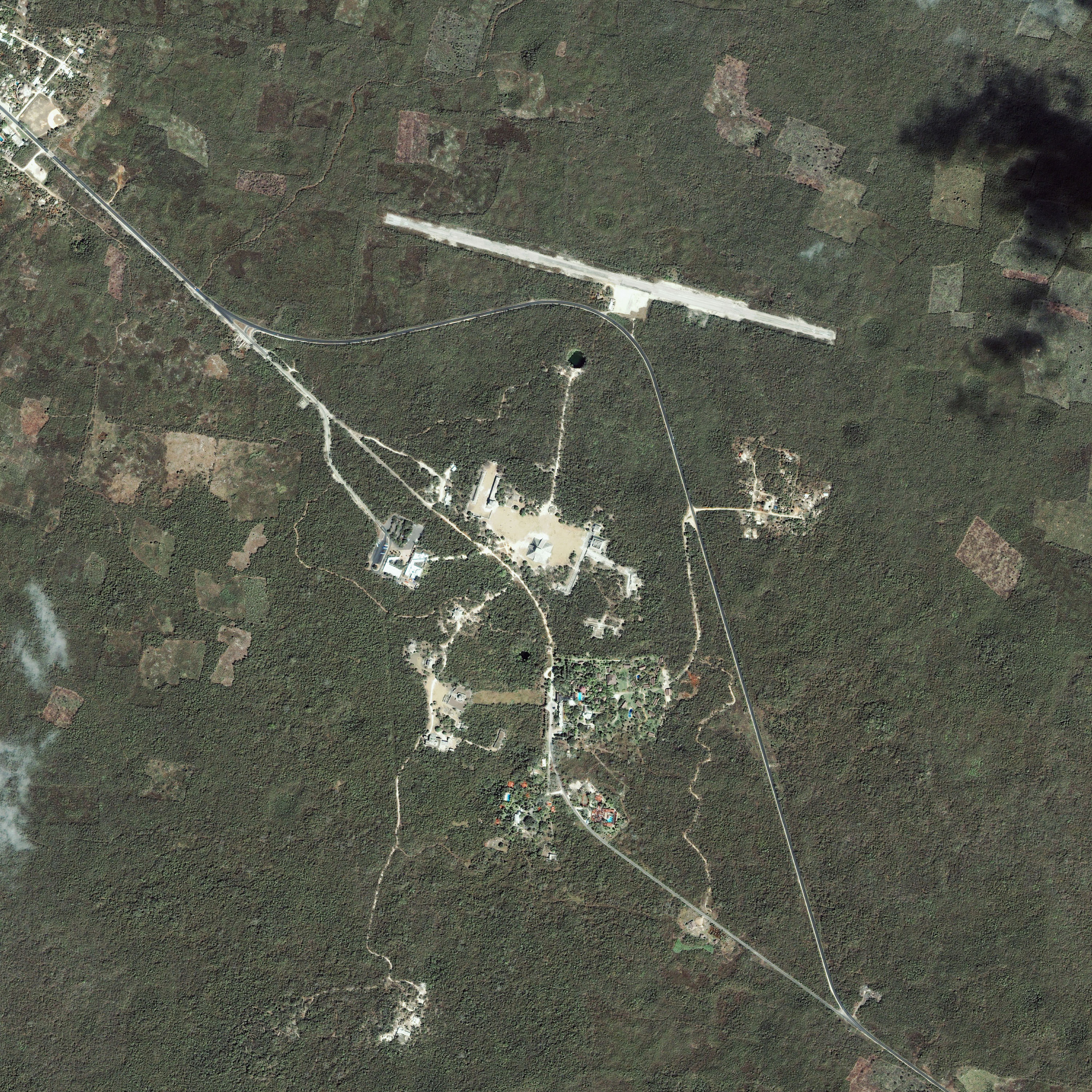
The IKONOS satellite took this image of Chichen Itza, Mexico, on 05/03/01.
Source: GeoEye © 2006 Satellite Imaging Corporation.
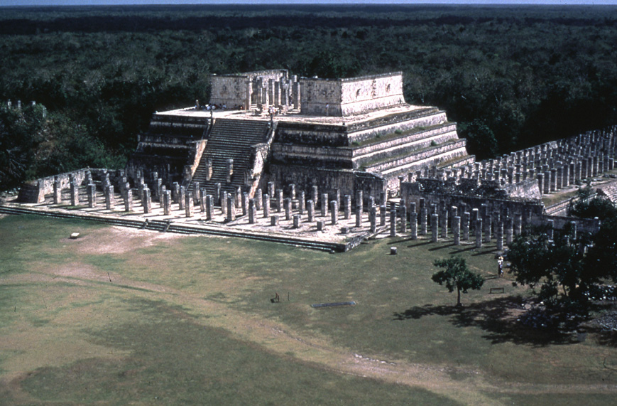
View of the temple of warriors, pre-hispanic city of Chichen Itza, Mexico.
Source: © UNESCO/Thierry Jolly.
Find out more in the utorial on
Conservation of natural and cultural Heritage !
