A look at radar images
What's a radar ?
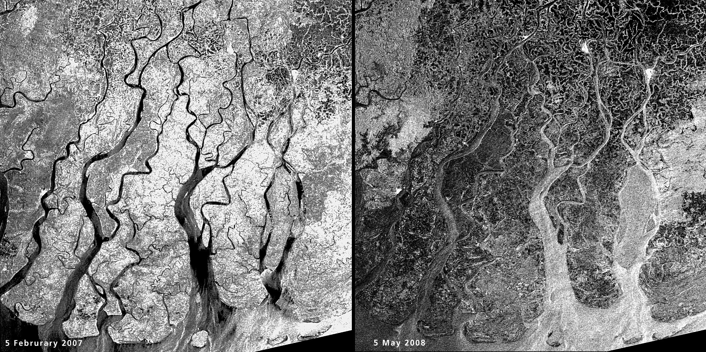
Radar is an acronym for Radio Detection and Ranging. Radar is an active sensor system.
It generates its own illumination as an outgoing signal. This signal interacts with the target (vegetation, sea surface, soil, buildings, etc). Afterwards, parts of the signal returns as backscatter to the same antenna that emitted the radar beam.
Radar beams can peer through clouds, rain or local darkness and are especially sensitive to moisture on the ground.
Why radar images are used to spot oil spills ?
Because the backscattering of radar depends on the roughness of the surface, the smooth surface of oil spills is often clearly visible in radar images.
More...
To learn more about the radar images check out these links :
- Radar mini-tutorial
- Video: TerraSAR-X operations for floods (DLR)
- Radar and Microwave Remote Sensing (Section 8 of the Remote Sensing Tutorial by NASA/GSFC)
- Radar remote sensing tutorial (Canada Center for Remote Sensing)
- EOEdu: Remote sensing for everyone (Belgian Science Policy Office)
- Tutorial Introduction to remote sensing principles
- Tutorial Remote sensing using lasers