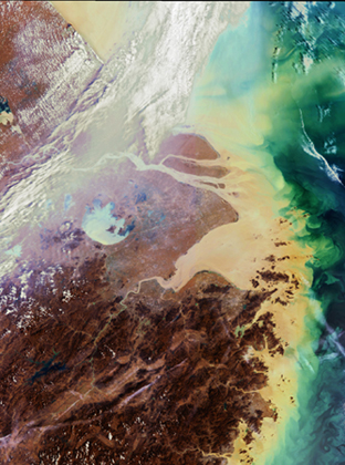
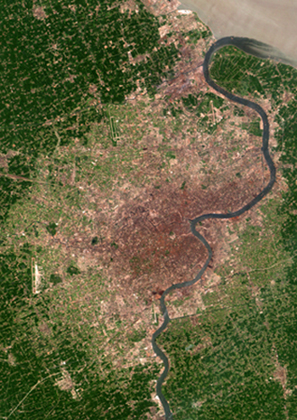
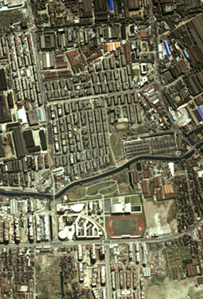
Shanghai in different satellite images: left: recorded by MERIS on Enivsat 2003, middle: Landsat TM 1989, right: recorded by Ikonos in May 2000.
Source: ESA & Beckel 2007
Source: ESA & Beckel 2007
Tasks:
- Different resolutions for different applications.
a. Complete the table which demonstrates how different resolutions are suitable for different applications. Use the following scale: + (best suited for purpose), o (moderatly suited for purpose), - (poorly suited).
Applications Low resolution Medium to high resolution Very high resolution Traffic control Regional environmental mapping Topographic map up-dates Agricultural mapping Tree census Urban planning Weather monitoring
b. Construct a table to show the advantages and disadvantages for the use of low, medium to high and very high resolution image.
Low resolution Medium to high resolution Very high resolution Advantages Disadvantages
- The choice of satellite system is usually a compromise between cost and spatial resolution. Which satellite
system's resolution would you need to...
a. monitor the vegetation of a region?
b. check the construction progress of an airport?
c. draw the topography of a region?
- Find main tasks and uses of the satellites Landsat, SPOT and QuickBird on the Internet.
