5. Implementation Using Image Data (1/4)
To implement such a model with image data, the image data needs to be converted into reflectance data from the source radiance data by calibrating the data and correcting for atmospheric effects. Once this has been done, then derive Ratio Vegetation Index (RVI) values from the data using
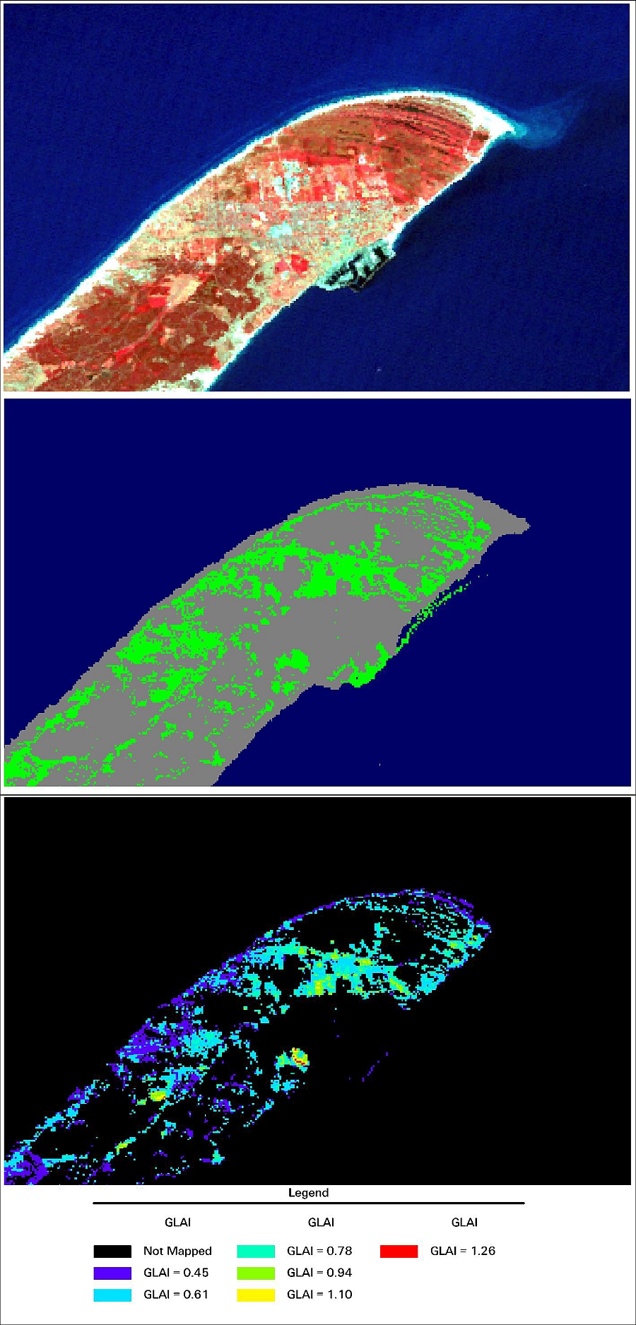
You are likely to want to derive estimates of GLAI for just one land cover using a regression model like the one we have constructed. Classify the image into land covers and then separate out the land cover that you are interested in. Use the map algebra in the image processing software that you are using to convert this RVI data for the land cover of interest into an estimate of GLAI using the model that you have selected.
The models that we have developed are
Winter Wheat: GLAI = 0.162576·RVI + 0.2882
Spring Barley: GLAI = 0.254203·RVI - 0.4335
In the example here for Skagen, a model has been constructed for grasslands and that has been used to map grasslands GLAI in this image.