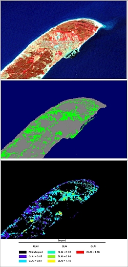
Introduction: Estimation from Image Data
In the SEOS tutorial Classification Algorithms and Methods, we learned about how to partition image spectral data into sub-domains, each of which represents different land covers or land uses.
This activity represents the first question that you must deal with in image processing, or What is it that I am looking at?
Once you have dealt with this question, then you can move onto the next big question in image processing of satellite data, which usually is, What is its condition?
Answering this question is the domain of estimation, or what we are going to deal with in this series of lessons.
We can conduct estimation by either building models and/or by interpolation. Even if we plan to derive our estimates by interpolation, we usually need to also use a model. We build a model or a series of models that convert the image data into an estimate of a physical attribute of one or more land covers in the image data. These models might be very simple or very complex models. We will start with some simple models to illustrate the nature of the process.
If a model is derived from experimental data, without any knowledge of the underlying processes, then it is called an empirical model because it is based on observed data. If the data are treated as statistical data in the derivation of the model, as is usual, then the model is also a stochastic model.
Another type of model is the deterministic model. In a deterministic model, the relationship between the parameters is known. Typically, it will be known from a law of physics or from a law in some other discipline. Mathematically, deterministic models do not contain a random component, so that the model yields the same result each time it is used, for the same starting conditions.

