Supplement 3.6: MERIS
MERIS stands for Medium Resolution Imaging Spectrometer Instrument. It is one of 10 instruments on board the ENVISAT satellite operated by the European Space Agency (ESA). ENVISAT was launched on 28 February 2002.

Source: ESA
MERIS addresses the needs of three disciplines, primarily oceanography and secondarily atmosphere and land observations.

The main objective of MERIS is to monitor the ocean colour including chlorophyll concentrations for open oceans and coastal areas, yellow total suspended matter. In addition, MERIS provides with land parameter measurements like vegetation indices and atmospheric parameters like water vapour, cloud top pressure, cloud types and aerosols.
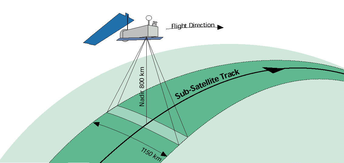
MERIS is a push-broom instrument measuring the solar radiation reflected from the Earth's surface and from clouds in the visible and near infrared range (390 nm to 1040 nm). The 1150 km wide swath is divided into five segments covered by five identical cameras having corresponding fields of view with a slight overlap between adjacent cameras. MERIS is providing spatial and spectral information simultaneously.
Source: ESA
MERIS data is used for the generation of large scale maps, e.g. for:
- ocean pigment concentrations,
- coastal water monitoring,
- clouds and water vapour,
- vegetation status and distribution.
Source: CHELYS srl
MERIS features a high degree of flexibility. Fully programmable on-board processing allows the selection of up to 15 different spectral bands.
Full spatial resolution data, i.e. 250 m at nadir, is transmitted over coastal zones and land surfaces. Reduced spatial resolution data, achieved by on-board combination of 4 x 4 adjacent pixels across-track and along-track resulting in a resolution of approximately 1000 m at nadir, are generated continuously.
Mission characteristics
- Orbit Type: sunsynchronous at about 800 km altitude
- Repeat cycle of the reference orbit: 35 days
- MERIS allows global coverage of the Earth every 3 days
Some interesting links about MERIS
 |
Frequently Asked Questions about MERIS |
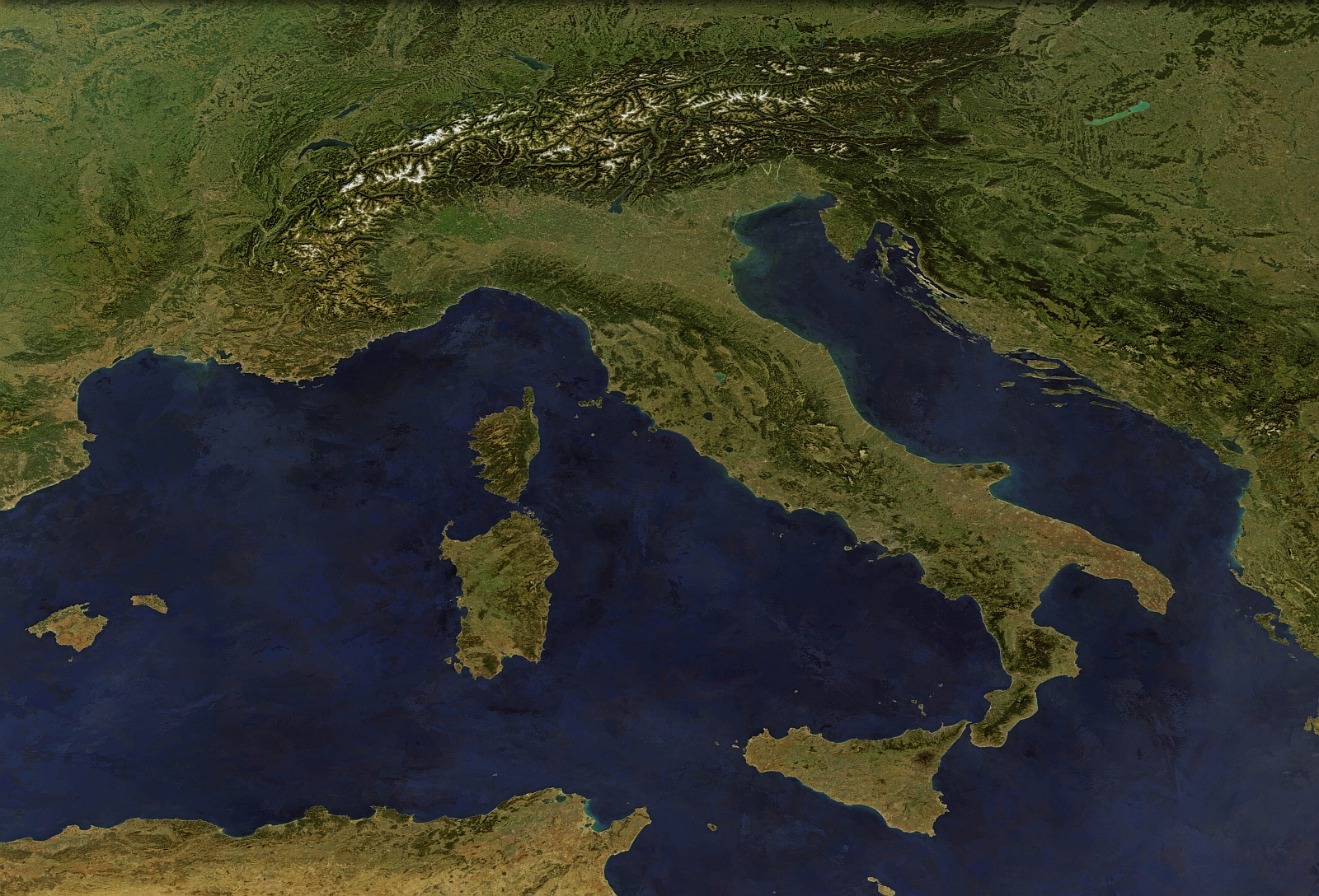
Mosaic photos of the Earth generated from MERIS data |
|
The latest MERIS images from Meris Images RApid VIsualization (MIRAVI) |