Interpreting satellite images of World Heritage sites
3. Observing temporal change from space
Subjects:
Geography, Environmental Science, Biology, Social / Political Studies, Language Arts
Objectives:
Now that you have learned to interpret specific characteristics of World Heritage sites on satellite images,
apply this skill to a specific case and analyse the visible threats. Practise your analytical skills and learn
how to recognize landscape changes over time from space.
Procedure:
You will find five different case studies below. For each case you will find two different images
of the same site, taken at different times. Can you see how the site has changed?
Do you recognize a specific type of threat?
Case Study A:
Iguazú National Park, Argentina

Iguazú National Park , Brazil, 1973.
Source: UNEP
|
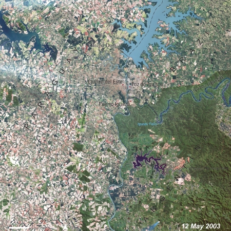
Iguazú National Park , Brazil, 2003.
Source: UNEP
|
| 1973 |
2003 |
Case Study B:
Sunderban, India / Bangladesh
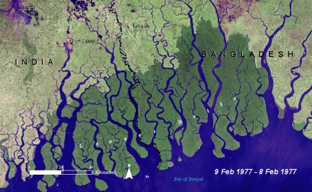
Sunderban (India/Bangladesh) 1977.
Source: UNEP
|
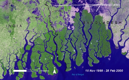
Sunderban (India/Bangladesh) 2000.
Source: UNEP
|
| 1977 |
2000 |
Case Study C:
Ichkeul Lake, Tunisia
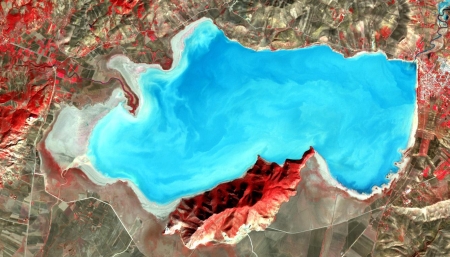
Lake Ichkeul (Tunisia) 2001.
Source: NASA
|
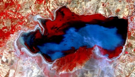
Lake Ichkeul (Tunisia) 2005.
Source: NASA
|
| 2001 |
2005 |
Case Study D:
Mexico City, Mexico
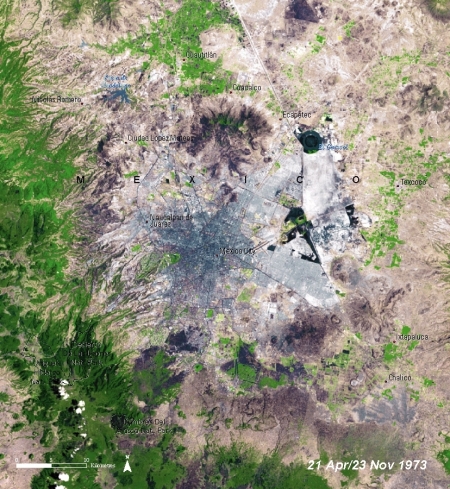
Mexico City (Mexico) 1973.
Source: UNEP
|
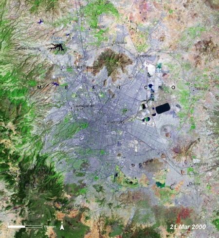
Mexico City (Mexico) 2000.
Source: UNEP
|
| 1973 |
2000 |
Case Study E:
Mount Kilimanjaro, Tanzania, Africa
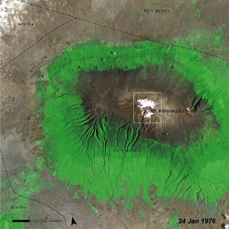
Mount Kilimanjaro (Tanzania, Africa) 1976.
Source: UNEP
|
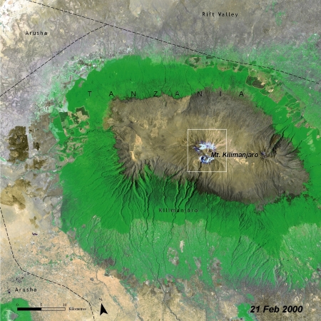
Mount Kilimanjaro (Tanzania, Africa) 2000.
Source: UNEP
|
| 1976 |
2000 |
Case Study F:
Paris, France
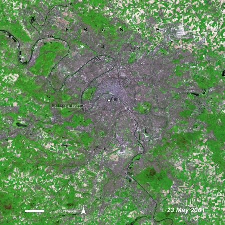
Paris (France) 1976.
Source: UNEP
|

Paris (France) 2001.
Source: UNEP
|
| 1985 |
2003 |


