Remote Sensing of Natural Heritage Sites
The Everglades National Park, Florida, USA (2/2)
Contribution of Remote Sensing:
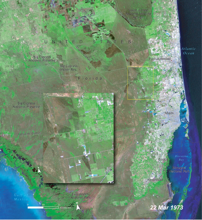
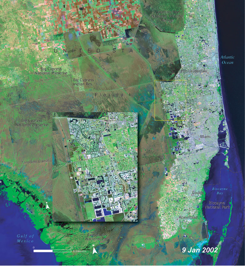
30 years of change in the Everglades National Park, USA
Source: UNEP Atlas of our Changing Environment
We illustrate through this example the power of remote sensing when it is used to compare changes occurred on the same surface of the Earth during a certain period of time.
The two Landsat images show the natural heritage of the Everglades National Park in the year 1973 and 30 years later in 2002. The comparison shows some agricultural patterns in 1973 that have significantly increased in 2002. This means that a large increase of human infrastructure has developed in the area.
Such human infrastructure demands water for their daily use and such water demand puts the site under terrible stress. Water is the key element for the Everglades. Satellites assist in monitoring human settlements and in controlling their expansion. Comparing satellite images is therefore extremely useful in order to understand changes that have occurred on the surface of the earth.
Watch this animation of the Florida Everglades that was created with Landsat 7 data:
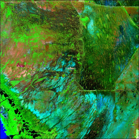
Source: UNEP Atlas of our Changing Environment
We also take advantage of this example to show you how remote sensing is also able to identify humid areas. By looking carefully at the satellite image you see a green/brown darker area. That is the area that is continuously humid and that is habitat for a large amount of important species. Remote sensing is being used by the conservation authorities of the Everglades as a support tool for management and restoration projects. This activity is very important in order to preserve the natural ecosystems within the Everglades, to understand the threats to their survival by the encroachment of civilization, and to develop plans for the preservation and management of this important natural heritage.
Source: NASA
