Remote Sensing of Cultural Heritage Sites
The Great Wall of China (2/2)
Contribution of Remote Sensing
In 2006, the State Administration of Cultural Heritage and the State Bureau of Surveying and Mapping in China launched the joint China's Great Wall Protection Project.
The objectives of the project are to provide basic information about the Great Wall, to develop protection plans, to add funds for the protection of the Great Wall and to repair damages. Research within the project is based on technologies such as infrared range finders, remote sensing technology, geographic information systems and a global positioning system.
In April 2009, when Phase I came to an end, experts announced that new portions of the wall that stretch from Hu Mountain in northern Liaoning province to Jiayu Pass in western Gansu province had been discovered. The presently known length of the Ming dynasty Great Wall was found to be 8,851.8 km.
The joint project will continue until 2010. Further plans include the mapping of sections of the wall built during the Qin (221 B.C.-206 B.C.) and Han (206 B.C.-9 A.D.) dynasties.
Another result of the China's Great Wall Protection Project is that this World Heritage site is under great threat, mainly because of climate change and the country's massive infrastructure development.
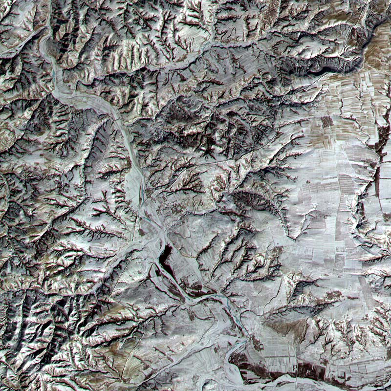
The western section of the wall, for the most part located in the desert, has traditionally been built with sand and mud, making it vulnerable to erosion caused by extreme weather conditions such as wind storms. The frequency of such storms is increasing as a result of climate change. Erosion of the wall is most obvious in the Ning Xia region.
