Global Navigation Satellite Systems (1/2)
Source: French, 1996
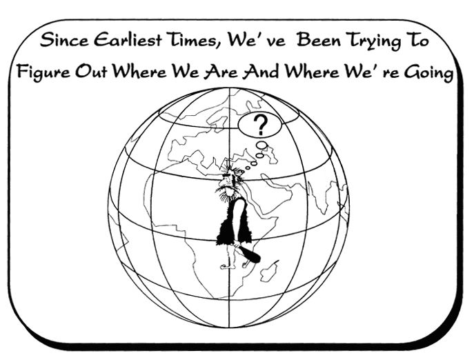
The need for accuracy
When any remote sensing data are captured, there is no immediate knowledge of which location these data represent.A satellite image needs to go through geometric correction in order to assign geographic coordinates to each pixel. With the constant improvement of the spatial resolution of satellite sensors, demand for high spatial accuracy is increasing. Optical satellites such as IKONOS and QuickBird have sub-metre spatial resolution and need to be geometrically referenced down to a few centimetres. Some radar sensors can provide even better resolutions and in those cases the accuracy must be down to milimetres.
Global Navigation Satellite Systems (GNSS)
A Global Navigation Satellite System is a system that is made up of a number of satellites that orbit the Earth, ground stations that receive signals from the satellites and users who use the information that is produced.
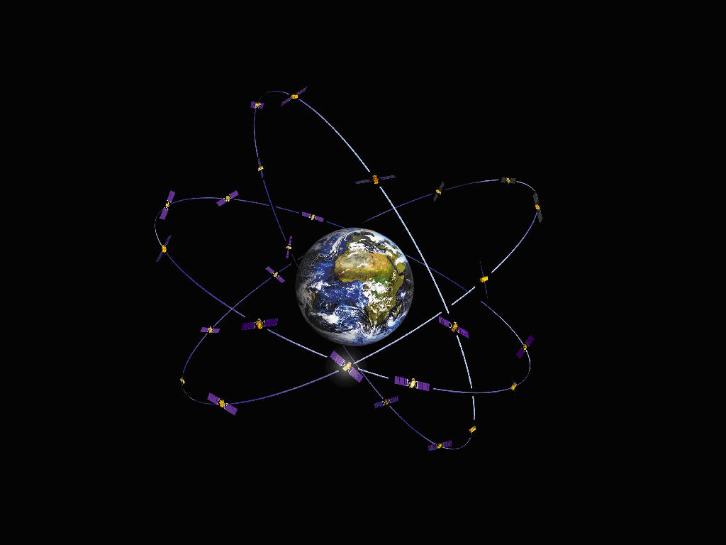
Source: ESA
The most popular GNSS is the Global Positioning System (GPS) which was created by the United States of America. In addition there is a Russian GNSS, the GLObal NAvigation Satellite System (GLONASS) and Galileo, which is currently under development by European Union and the European Space Agency (ESA). Galileo is expected to be operational by 2013.
