2. Crop Yield Estimation
Can we really know how much crop a field will produce?
Having information on potential crop yield at an early stage, is very beneficial for the farmer, but also for countries that heavily rely on agricultural production, to satisfy the national needs for the crops and also for income through exports.
Making estimates on crop yield, has been a farming practice for many centuries. Even today, experienced farmers are able to make rough estimates of the final crop yield, just by looking at the plant vigour and health status half-way through the season and taking into account the climatic conditions up until that point. Of course, estimates that are made nearer to the harvest season tend to be more accurate, as there is more information about how the crops progressed through the season, and also there is less time for things to go wrong.
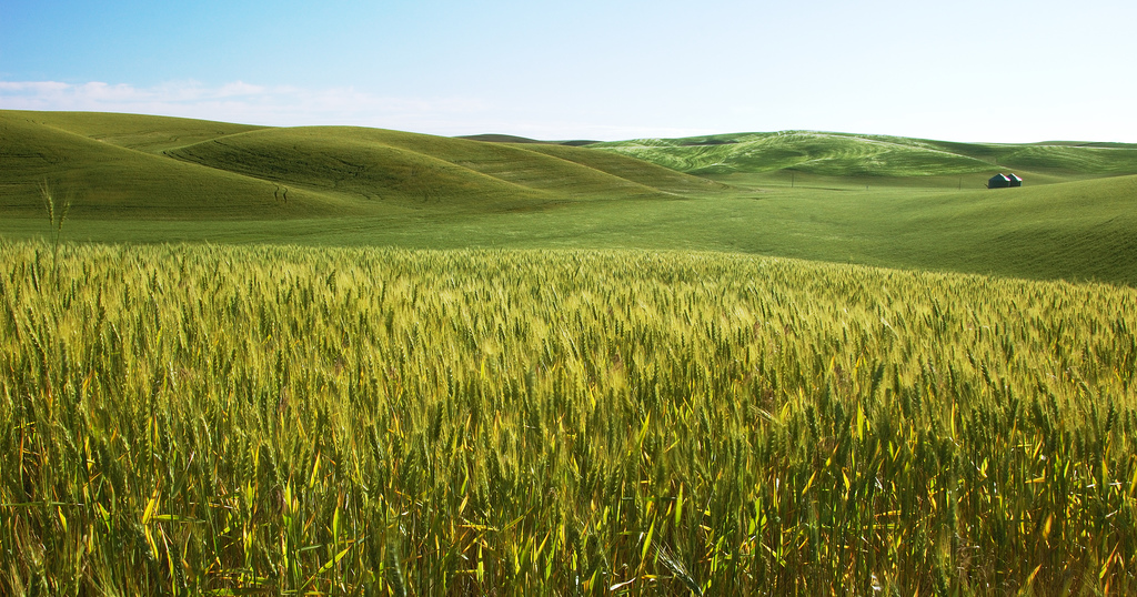
Source: Wikimedia Commons
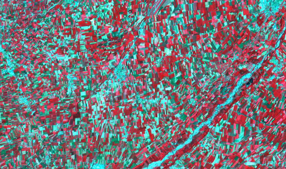
Source: Satellite Imaging Corporation and SPOT Image Corporation
Earth observation data for crop yield estimation
So how can we use remote sensing to make estimates of future crop yield? Because of the particular manner vegetation reflects the electromagnetic radiation (see this page for more information), we can assess the crop status by using remote sensing data. By combining these data with additional data (such as the climatic conditions) in complex models, it is possible to estimate the final yield of a crop field at a very early stage.
Question: What are the major crops types grown in your country?
