Welcome to the Tutorial on 'Natural Resource Management'
Introduction
Our natural environment is threatened by the effects of various human activities. Its ability to "heal" itself is compromised by the intensity with which we exploit its resources. However, the problem does not lie with the resources we use, or as much with the amount we exploit, but with the manner in which we do so.
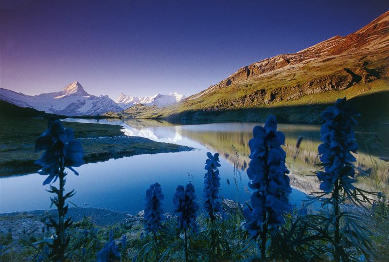
Source: Wikimedia Commons
Remote sensing can provide frequent data regarding the resources that are available on our planet. Such data are particularly useful for monitoring purposes, but can also provide information, based on which we can make decisions on how to deal with the problems that our natural resources are faced with.
In this tutorial you will learn how to use remote sensing to
- evaluate soil quality and assess the associated environmental threats
- monitor water bodies that supply our water
- manage waste that is harmful for the environment
- assist in the urban planning of towns and cities
- sustainably manage forests
- manage ecosystems and conserve the natural landscape.
Did you know that 78 million acres (31 million hectares) of rainforest is destroyed every year? That is an area larger than Poland.
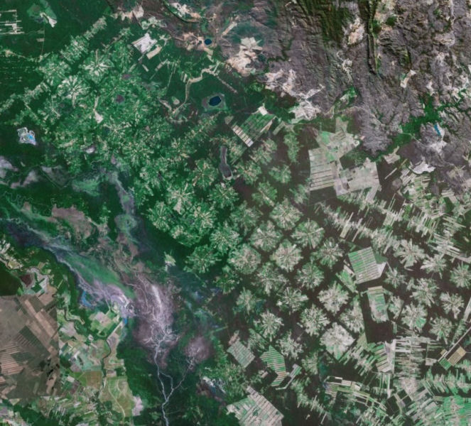
Unsustainable deforestation (clear-cutting without restoring the trees harvested) is reducing the Earth's ability to absorb CO2, disrupts the local climate by increasing the average temperature and exposes loose soil, causing soil erosion.
