3. Sustainable Forest Management
What is Sustainable Forest Management?
Generally speaking, forest management is the sum of human actions in forestry that lead to a goal. In the case of forest management the goal is the continuous flow of benefits from the forests, for the satisfaction of the present and future human needs. The term "sustainable" represents the effort to allow the forest to continue existing in the same way as it was before, without the management activities causing any negative effects on it.
There are many definitions of sustainable forest management, but they are all based on the notions that sustainable forest management requires the understanding of the ecological processes over long periods of time and at large scales, and that its goals must be social as well as ecological.
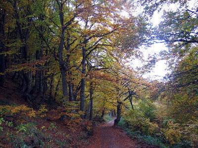
Source: London is Free website.
Managing of a forest ecosystem requires a method of monitoring, in order to observe any changes that occur. The individual features that will be monitored vary, depending on the specific characteristics of the forest and the manner that the forest is being exploited. These measurable characteristics are referred to as indicators.
The indicators are usually grouped, based on the aspect of the forest that they describe. For example the indicators might be related to the biological diversity, the forest health status, the availability of nutrients, water and the condition of the soil, as well as the benefits of forests to the society.
How does remote sensing contributes to sustainable forest management?
Sustainable forest management requires data and information. Assessment of the current status requires up-to-date information, whereas identification of trends, estimation of future parameters and prediction of the results of possible scenarios, require a series of information from the past. Remote sensing serves as one of the major sources of data, that can be processed and converted into valuable information.
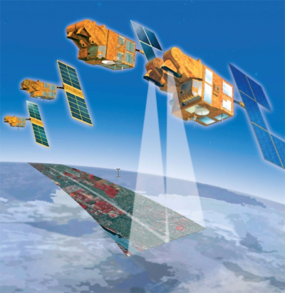
Source: Satellite Imaging Corporation
The great advantage of remote sensing is the potential to frequently collect data at high spatial resolution over a large area. The cost of acquiring such data is far lower than the cost of conducting periodic field sampling and surveying, the traditional method of monitoring the status of the forests. In addition, satellites have been collecting data for the past three decades, and a large archive of data already exists for many areas of the world.
