3. Crop Identification
Why do we need to identify crops?
It is very important for a national goverment to know what crops the country is going to produce in the current growing season. This knowledge has financial benefits for the country, as it allows the budget planning for importing and exporting of food products. One method is for someone to travel around the country and see what crop is grown in each field. But this takes too much time and costs a lot of money.
Source: Wikimedia Commons
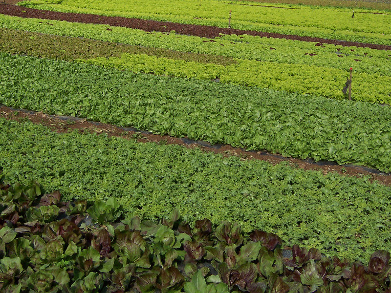
Look at the image above. You can see fields containing various vegetables. What characteristics will you be looking for in order to tell which crop is in each field?
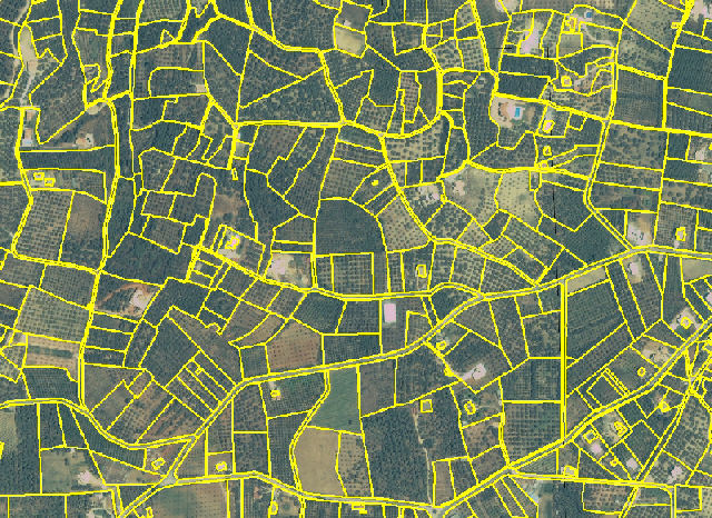
Cadastral Mapping
By observing the various kinds of crops, it is possible to map the boundaries of the fields. Mapping of the boundaries of land parcels provides information for the creation of cadastral maps. Cadastral maps are usually in a vector format and in this form can be used in a GIS system, along with other types of data (ownership, crop types cultivated etc.). These can be used by the local and national authorities, to estimate how much land is used for agriculture, and how much area is used for the cultivation of each crop.
See this page for more information on Geogrpahic Information Systems.